“Data is big. But data democratization is bigger.”
This was a point emphasized by a researcher during her presentation on participatory data collection approaches at the 9th World Urban Forum (WUF9). While urban data has allowed researchers, policymakers and practitioners to better understand our cities, more can be done on the ground to support the production and utilization of data beyond typical research and policy communities.
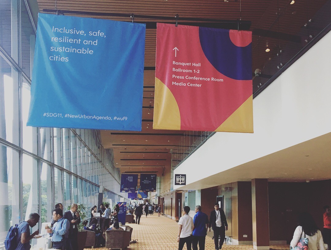
Centered around the tagline “Cities 2030: Cities for All”, the forum in Kuala Lumpur last week hosted discussions on a series of issues, ranging from gender inclusion to the participation of vulnerable individuals such as youth groups and the elderly within urban decision-making processes. The forum called upon urban stakeholders to work towards more inclusive approaches when implementing the New Urban Agenda and the Sustainable Development Goal (SDG) 11, which seeks to “make cities inclusive, safe, resilient and sustainable.” This post explores two major insights on urban data from the panels at WUF9: prevailing challenges and gaps in urban data collection, and the possibilities for participatory data creation to address these challenges to implementing the New Urban Agenda and the SDGs.
Challenges in Urban Data Collection
On the data front, practitioners and city officials continue to drive a key message: better quality data at the urban scale can assist municipalities and local governments in making better- informed decisions. As Eduardo Moreno, UN-HABITAT’s Director of Research and Capacity Development put it, “Good policy requires good data.”
While there is general agreement that better metrics and data can support better policy outcomes, urban practitioners continue to highlight prevailing challenges confronting both policy and research communities. The plethora of monitoring approaches and indices makes it difficult to compare and reconcile data across different tools, cities, and geographic scales. Defining metropolitan areas, for instance, remains a contentious and challenging task within research and policy communities. The OECD attempts to define functional urban areas according to grid cells of high population densities. Other organizations may prefer to rely on political definitions of city boundaries, as such boundaries may be more relatable to both the layperson and policymakers or city officials who make key planning decisions.
Moreover, data is often transmitted in a single direction, from citizens to policymakers and researchers. Though researchers frequently obtain information from a wide range of data sources, including individuals from vulnerable communities, their findings have typically not been adequately communicated back to research participants. Even when websites make this data openly accessible, barriers to internet access or challenges reading and interpreting the data can prevent citizens from utilizing it — unless community members have been trained or equipped with the technical capabilities to do so. Some researchers also caution that a host of issues may remain unaccounted for within comparative indices, resulting in a risk of marginalization and the exacerbation of injustice when policy decisions are undertaken on the basis of these indicators.
Participatory Data-Making
At WUF9 it was exciting to observe how data could potentially be collected, analyzed and communicated in ways that would allow individuals to participate in processes of data creation. By emphasizing the inclusive representation of diverse participants in data access and utilization, such approaches can potentially address the aforementioned gaps in urban data collection.
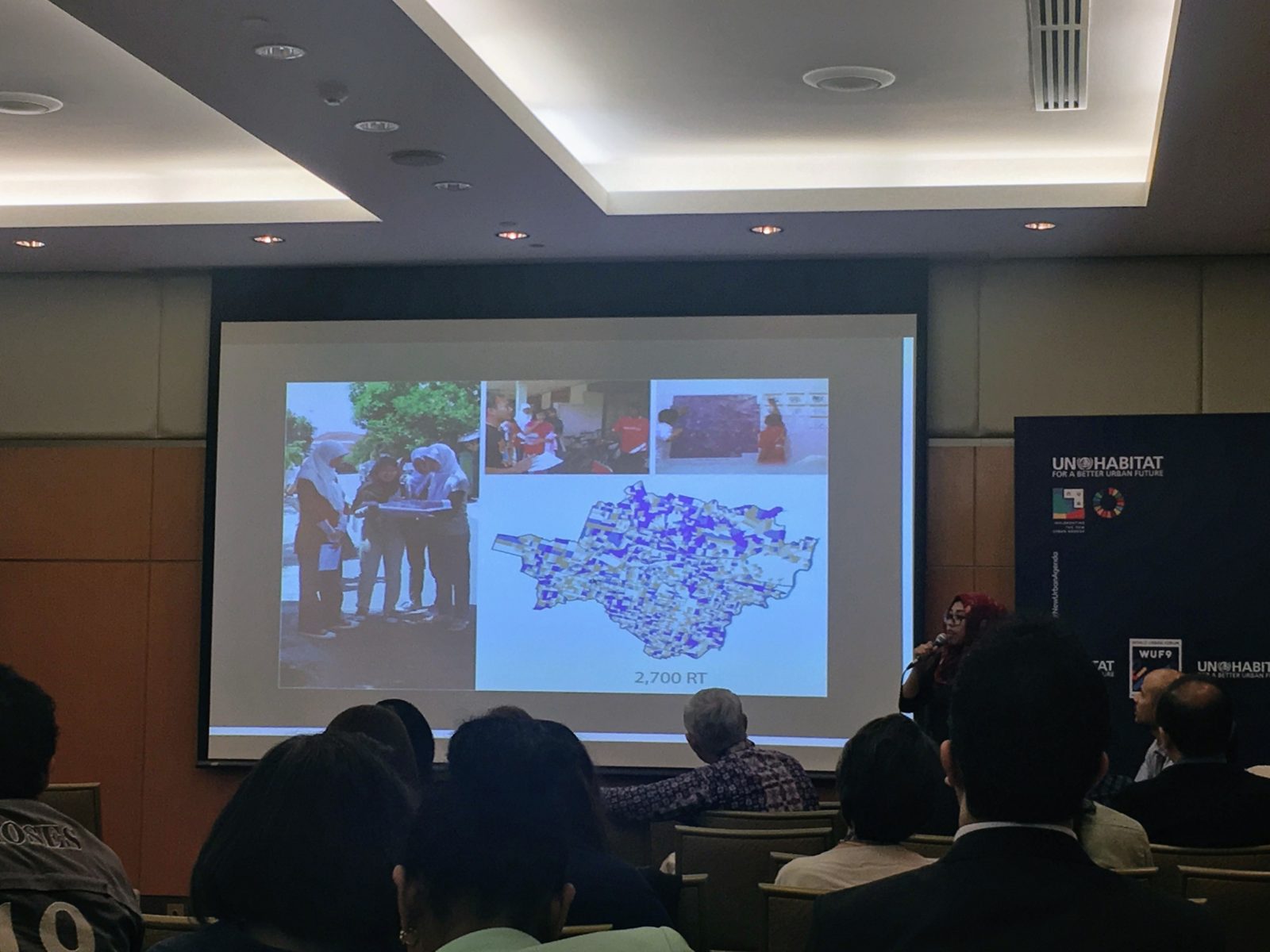
In one instance, researchers from the Chapa Urban Lab mapped socio-economic vulnerabilities within Sao Paulo’s informal settlements according to multiple building typologies. Through ground surveys, residents of informal settlements provide both qualitative and quantitative information about their housing conditions, neighborhood security or household educational levels. These inputs are then channeled into a visual and informative online dashboard, depicting neighborhood socio-economic information at a high resolution (lot level). The team has plans to fully develop an online mapping tool that enables residents to add new socio-economic information, along with tags and comments. The project team will train residents on the ground on the use of the tool, to make this data more accessible.
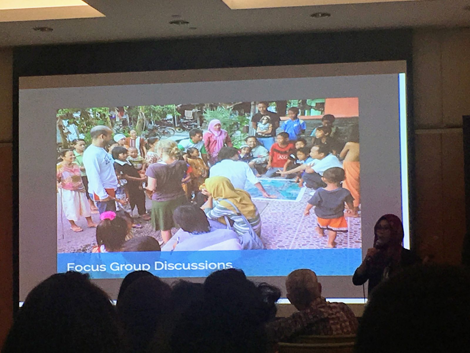
The Kota Kita Foundation explains their survey approaches, which combine both quantitative and qualitative information collected from the ground-up.
In Solo, Indonesia, the non-profit organization Kota Kita aims to inform more inclusive urban land-use and planning policies through participatory mapping techniques. The team has developed a set of web-based mapping applications to enable citizens to identify concentrations of individuals with disabilities and the absence of basic services. A network of volunteers facilitates community mapping and focus group discussions to complement data gathering and to identify data disparities. This approach attempts to bridge communication and policy gaps between the municipal government and its citizens.
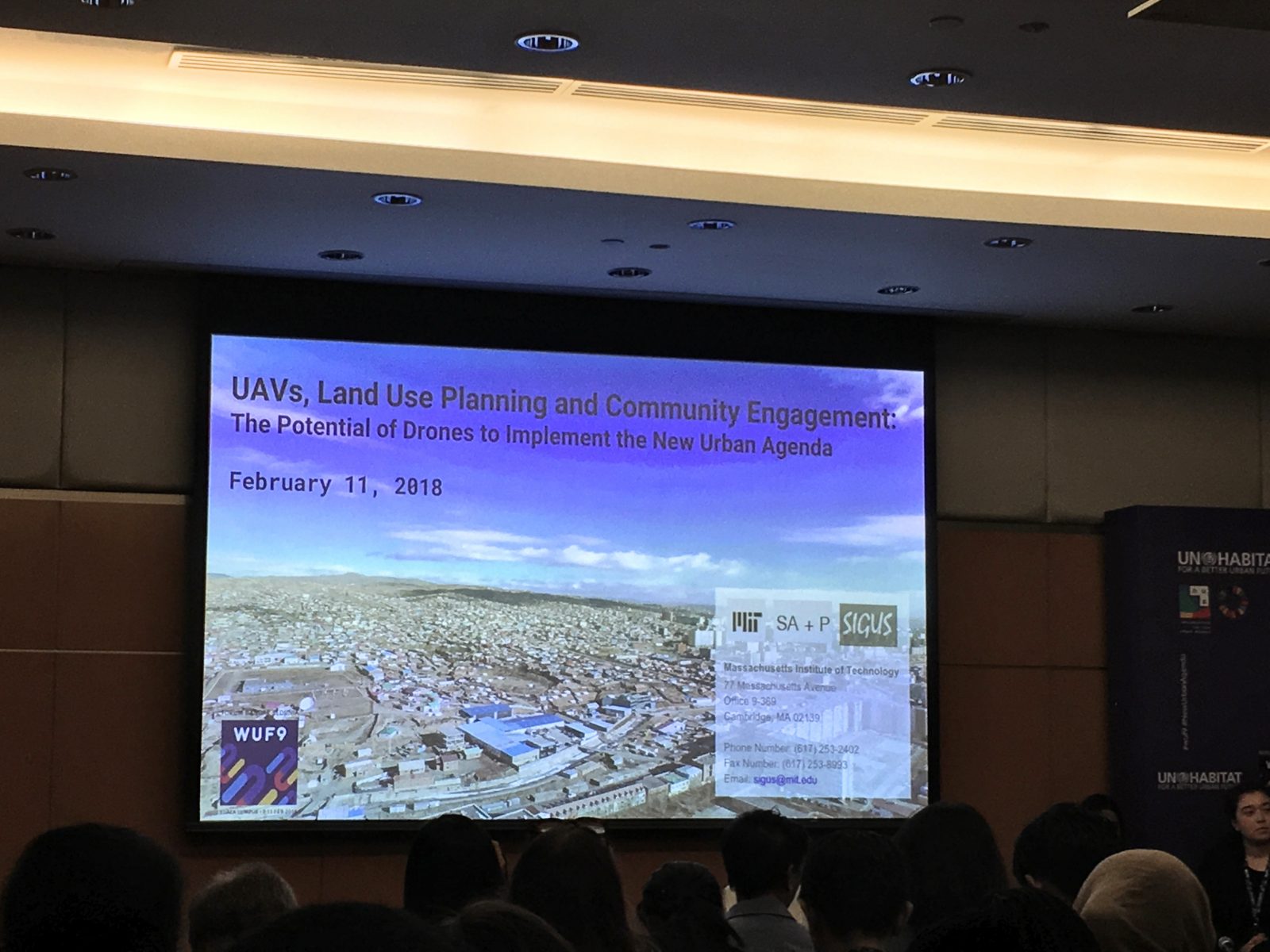
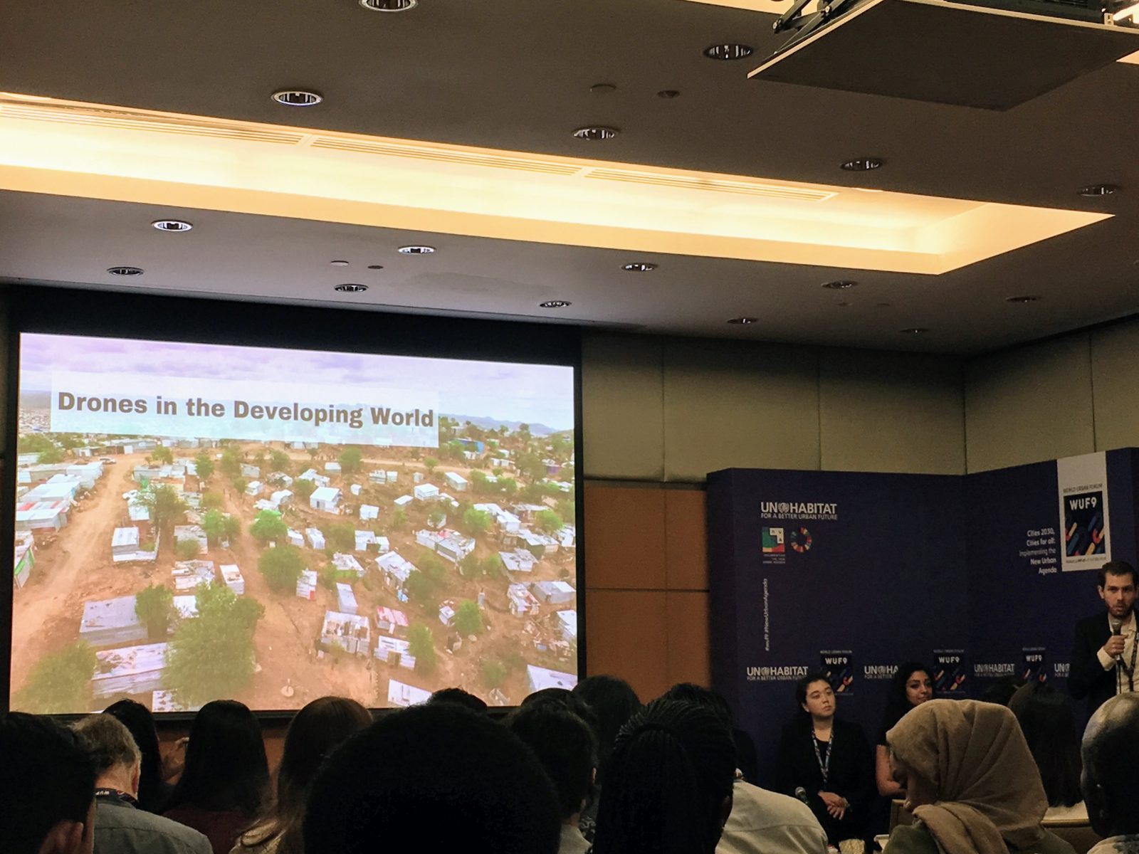 The team at Special Interest Group in Urban Settlements-MIT (Sigus-MIT) demonstrates the use of drones for high-resolution ground surveys, an approach with applications in settlements of both the Global North and South.
With the advent of new mapping capabilities, the use of more participatory and inclusive means of data gathering is increasingly within reach of the layperson. Drone technologies, for instance, can be quickly deployed to gather high-resolution maps that aid disaster recovery efforts, or to map building typologies within settlements. These methods enable community users to more precisely survey vulnerable building structures and essential community evacuation sites in the event of a natural disaster, while allowing researchers to access spatial data at higher resolutions than conventional satellite imagery.
Despite constant battles with data quality and consistency, new approaches to data collection could represent a strategy for better linking urban policy with local needs and perspectives. New forms of data creation can unlock new possibilities to further empower individuals — whether data providers, data users or researchers — to collectively navigate the complexities of our urban challenges, and to work towards greater inclusivity within existing data-driven approaches.
Recent Comments