
Exploring Disparities and Solutions to U.S. Urban Heat Stress and Climate Justice
This project seeks to characterize the past, present and future of urban heat stress disparities resulting from past environmental and climate injustices in U.S. cities using a multi-modeling approach with high-resolution data.
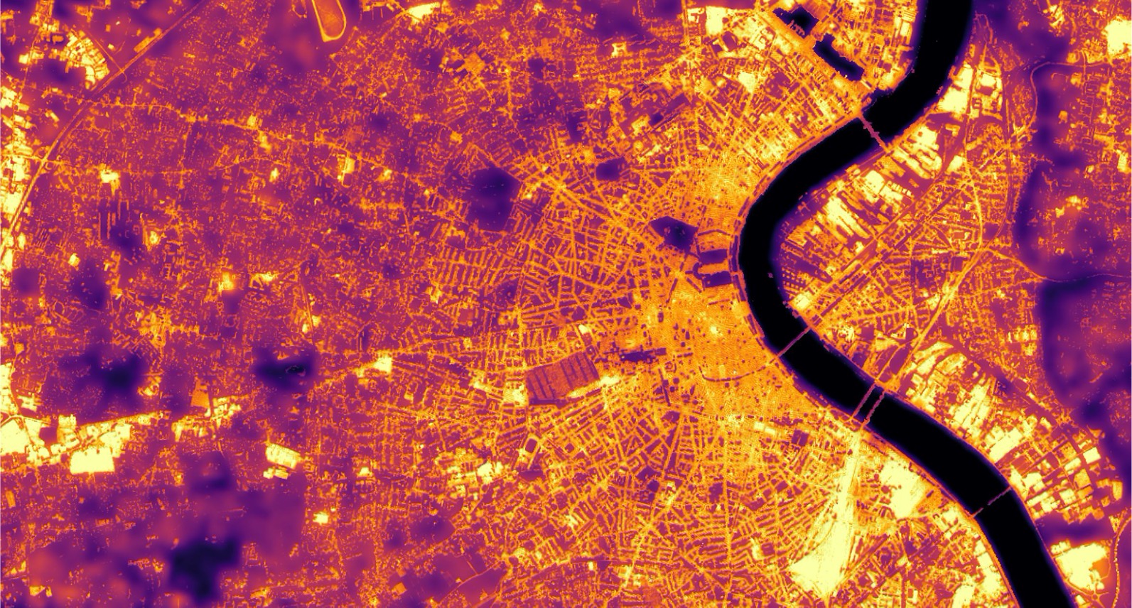
Measuring heat exposure in urban areas is important for protecting and improving human health and creating equitable outcomes. The burden of urban heat stress is not distributed equally across cities; In the U.S., people of color and low-income individuals disproportionately live in areas with the potential for higher heat exposure. To capture these disparities, both appropriate metrics and sufficient resolution are needed.
Specifically, the project will assess:
1) Past: evaluate where and how historical climate injustices and heat stress exposure disparities have changed over time using a combination of satellite remote sensing products and sociodemographic data for the entire continental U.S.
2) Present: generate high-resolution (neighborhood to pedestrian scale) estimates of heat stress indices within select cities to address heat-related climate justice issues for selected U.S. cities.
3) Future (near-term): model heat mitigation measures to understand how cities can reduce local heat stress and the resulting disparities through urban planning measures, such as tree planting and albedo management, with stakeholder collaboration.
Technical Approach
- Addressing current challenges surrounding the lack of suitable data, this project aims to generate high-resolution data that closely relates to the human experience in urban environments. This involves a combination of “direct measurements, machine learning and microclimate modeling approaches.
- A strategically placed sensor network was deployed across the city of Durham in summer of 2024, measuring air temperature and relative humidity. Using globally available satellite data-based predictor variables, machine learning models then estimated spatially continuous heat indexes at a high (100 m) resolution (Wang et al., 2023). The placement of these sensors incorporates a range of surface temperature, landcover and shading variations. Therefore, the training and test data for the machine learning model captures the full range of intra urban variation, leading to highly robust machine learning models.
- To achieve an even finer scale understanding, the urban microclimate model SOLWEIG will project mean radiant temperature (MRT) at a hyper local 1m resolution. MRT is a measure of thermal comfort, based on the temperature of the surfaces surrounding a point- in this case, a pedestrian in an urban environment. Capturing the complexities of a city at such fine scale is computationally expensive, and typically prohibitive to large scale simulations. However, advances in computational techniques, involving running processes in parallel over multiple GPUs address this challenge (Li & Wang, 2021). Additionally, the results of the sensor network will be used to fine-tune and validate the microclimate model.
- These high-resolution outputs of air temperature, relative humidity, and mean radiant temperature (MRT) were combined with wind speed from global data sources to compute the Universal Thermal Comfort Index (UTCI), enabling a comprehensive representation of pedestrian thermal comfort at fine spatial scales. By altering both the machine learning and microclimate model inputs, we will quantify how implementing mitigation measures, such as urban greening or albedo modification, affects thermal conditions and pedestrian heat stress.
Case studies
- Testing the generalizability of machine learning-based heat stress models: Once our methodology and model are developed for North Carolina’s Triangle area, our team of researchers will make it broadly applicable to other North American cities. We will work to test the generalizability of our high-resolution heat stress model in other cities, including Phoenix, AZ, Philadelphia, PA, Baltimore, MD and Chicago IL, to test how well our model performs in other cities. By evaluating fewer cities at a higher resolution than is possible by leveraging land-surface temperature alone, we can better understand urban heat stress and its intersections with health impacts and mitigation measures.
- Evaluating urban heat mitigation measures – cool pavements: in partnership with the City of Raleigh and Duke Energy, we have designed a quasi-experimental study to evaluate effects of cool pavement treatments applied to selected Raleigh streets.
Durham Heat Study
In the summer of 2024, we deployed a ground-based network of sensors to collect temperature and humidity data throughout Durham every 10 minutes. Check out our map below, where we’ve divided Durham into heat deciles based on satellite-derived land surface temperature to ensure we are capturing the variation of heat throughout the city. Within each heat decile, we measured temperature and humidity within a variety of shaded/non-shaded conditions as well as land-cover types (i.e., impervious, pervious, etc.).
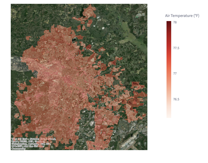
Durham Heat Stress Explorer
The interactive dashboard allows you to explore hourly temperature, humidity, and heat index across Durham, NC during July and August 2024. You can view maps, search for specific locations, compare them to the city average, and see how conditions changed throughout the day.
Interactive Storymap: Evaluating Extreme Heat Risk Thresholds
This interactive story map allows users to explore how the temperature and humidity data collected during the summer of 2024 can be used to evaluate extreme heat risk across the city. You can explore maps, learn more about heat liveability and survivability thresholds, and see how different census tracts in Durham compare when it comes to heat exposure.
Publications
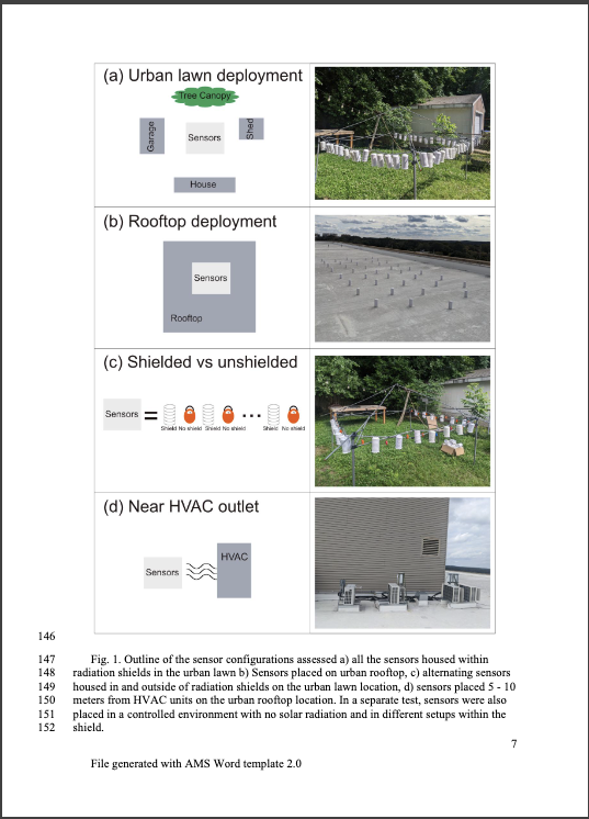
Biases due to widespread use of low-cost sensors for urban heat stress assessments
Berk, S., Chakraborty, TC., and A. Hsu. (2025). Biases due to widespread use of low-cost sensors for urban heat stress assessments. EarthArXiv. https://doi.org/10.31223/X5WQ8R.
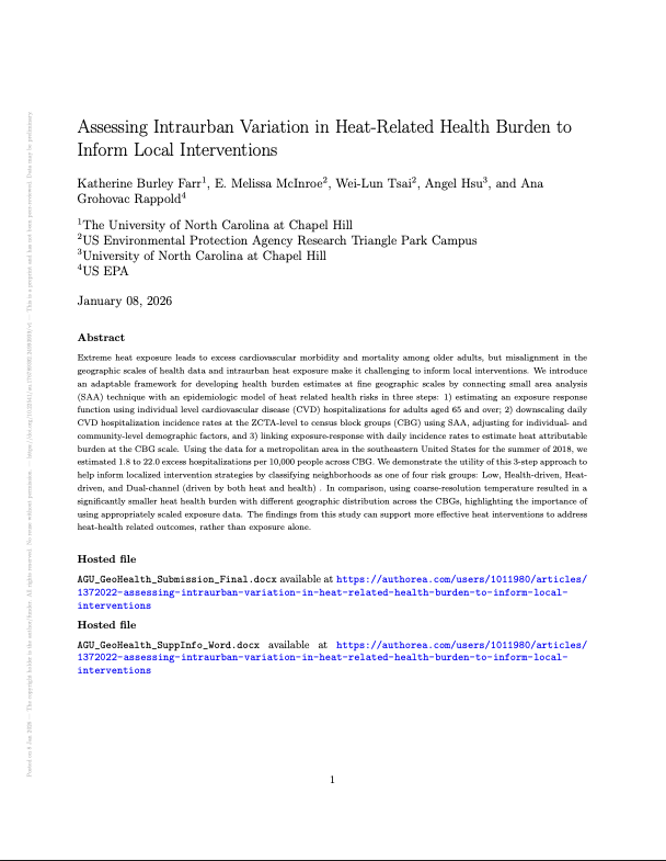
Assessing Intraurban Variation in Heat-Related Health Burden to Inform Local Interventions
Burley Farr, K., Melissa McInrose, E., Tsai, W., Hsu, A., Grohovac Rappold, A. (2026). Assessing Intraurban Variation in Heat-Related Health Burden to Inform Local Interventions. GeoHealth, forthcoming. Pre-print: https://doi.org/10.22541/au.176789392.24993939/v1.
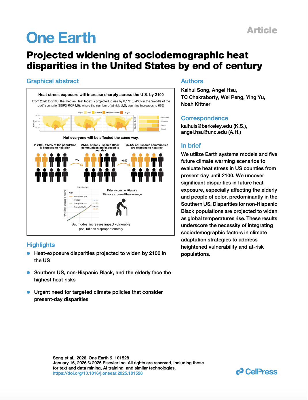
Projected widening of sociodemographic heat disparities in the United States by end of century
Song, K., A. Hsu., Chakraborty, T., Peng, W., Yu, Y., Kittner, N. (2025). Projected widening of sociodemographic heat disparities in the United States by end of century. OneEarth. https://doi.org/10.1016/j.oneear.2025.101528
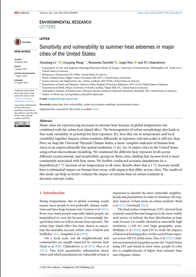
Sensitivity and vulnerability to summer heat extremes in major cities of the United States
Li, X., G. Wang, B. Zaitchik, A. Hsu, and TC Chakraborty. (2024). Sensitivity and vulnerability to summer heat extremes in major cities of the United States. Environ. Res. Lett. 19 094039

Citizen and Machine Learning-aided high-resolution mapping of urban heat exposure and stress
Wang, X., Hsu, A., and Chakraborty, T. (2023). Citizen and machine learning-aided high-resolution mapping of urban heat exposure and stress. Environ. Res.: Infrastruct. Sustain. In press https://doi.org/10.1088/2634- 4505/acef57.
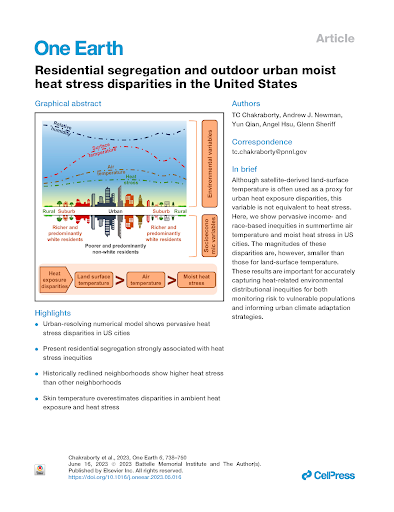
Residential segregation and outdoor urban moist heat stress disparities in the United States
Chakraborty, T. Newman, A. J., Qian, Y., Hsu, A., & Sheriff, G. (2023). Residential segregation and outdoor urban moist heat stress disparities in the United States. One Earth, 6(6), 738-750. https://doi.org/10.1016/j.oneear.2023.05.016
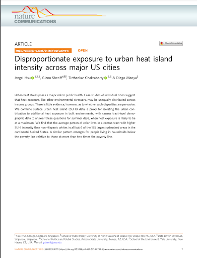
Disproportionate exposure to urban heat island intensity across major US cities
Hsu, A., Sheriff, G., Chakraborty, T., & Manya, D. (2021). Disproportionate exposure to urban heat island intensity across major US cities. Nature Communications, 12(1), 1-11. Available at https://rdcu.be/dJ1Cw.
Chapel Hill Heat Watch 2021 – Campaign Report
Data-Driven EnviroLab (2022). Chapel Hill Heat Watch 2021 – Campaign Report (Beta Release). Report compiled and designed by: Xuewei Wang and Angel Hsu, with the help of 40 citizen scientists and in partnership with the NC Museum of Life and Science and the Town of Chapel Hill. Available at https://datadrivenlab.org/wp-content/uploads/2022/03/2021Chapel_Hill_Heat_Watch_Report.pdf.
Community Stakeholder Advisory Group
Recognizing the importance of stakeholder collaboration, we have convened a Community Stakeholder Advisory Board of representatives from historically marginalized communities to co-design and co-create project outcomes that will benefit those most affected by urban heat stress disparities.
The advisory board encompasses a wide range of expertise, including language and citizenship, data sovereignty, data availability and interpretability, community engagement and consent, and heat mitigation services. They confirm the inequalities experienced in their communities and emphasize the need for research to provide the necessary evidence to implement policies addressing historical disparities in environmental challenges. Accessibility is crucial, enabling everyone to access information on aspects of urban heat that directly affect them. Consulting the advisory board at various stages is essential to this project, embedding their guidance to shape outcomes for implementable and impactful results.
Community Advisory Board Members:
Anita Neville – Hayti Reborn
Lisbeth Tengono Hickey – El Centro Hispano
Bonita Green – Merrick-Moore Community Development Corporation
Crystal Cavalier (OBSN) – 7 Directions of Service
Kenton Spencer – Dataworks NC
Emma Refvem – Durham Public Schools
Jenn Lawson – Duke Pediatrics
Susannah Tuttle – North Carolina Council of Churches
Alexandra Valladares – Communidad De Durham
Project Team

Angel Hsu, PhD
Principal Investigator
PhD, Environmental Policy

Sarah Berk
Postdoctoral Research Associate

Katherine Burley-Farr
UNC-Chapel Hill, PhD Student (Public Policy)

Izzy Bukovnik
UNC-Chapel Hill, PhD Student (Public Policy)

Glenn Sheriff
Arizona State University, Associate Professor (School of Politics and Global Studies)

Xiaojiang Li
University of Pennsylvania, Assistant Professor

Tirthankar Chakraborty (TC)
Pacific Northwest National Laboratory, Earth Scientist

Imani Vincent
Durham Museum of Life and Science, Associate Program Manager of Climate Research and Engagement

Shengao (Eric) Yi
PhD Student (City and Regional Planning), University of Pennsylvania

Max Cawley
Durham Museum of Life and Science, Director of Climate Research and Engagement
Collaborators and Sponsors







Thank you to the Ellerbe Creek Watershed Association, Wildlife Resources Commission, City of Durham, Washington Duke Hotel, Duke Energy, Museum of Life and Science, and Hayti Heritage Center for allowing us to host our sensors.
