
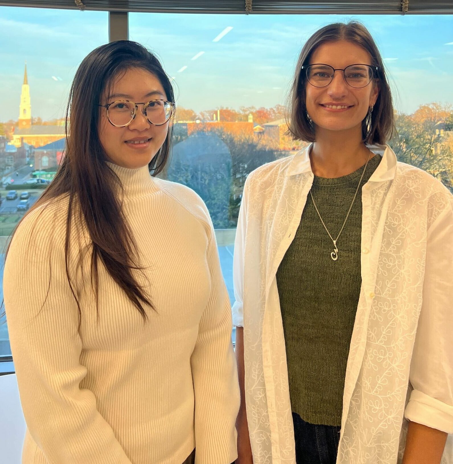
The Data-Driven EnviroLab (DDL) team will be heading to the annual meeting of the American Geophysical Union (AGU) in Washington, DC from December 9-13. The AGU is a scientific organization dedicated to advancing Earth and space sciences, and its annual meeting serves as the largest global gathering of scientists in these fields. Over 25,000 attendees from more than 100 countries will come together to share research and foster collaboration. Representing DDL, Postdoctoral Research Associate Dr. Sarah Berk and Research Scientist Dr. Xuewei Wang will showcase our latest work on urban heat modeling, machine learning for urban climate emissions, and the role of generative AI in addressing greenwashing in corporate climate commitments. See below for a list of the events where DDL will be presenting our work, as well as the presentation abstracts (presenter bolded below). If you will be attending AGU2024, please get in touch! We would love to meet you on the ground in DC.
Dec. 9: A Machine-Learning Framework to Evaluate Urban Climate Mitigation Performance
Xuewei Wang1, Diego Manya1, Ying Yu1, and Angel Hsu1
1Data-Driven EnviroLab, University of North Carolina at Chapel Hill, United States
Despite cities gaining global recognition for their climate pledges, assessing the actual impact of their mitigation efforts remains challenging due to the scarcity of emissions data. In this study, we develop a global machine-learning based framework to estimate annual greenhouse gas (GHG) emissions and mitigation performance for more than 10,000 cities from 2000 to 2023. We integrate satellite remote sensing-derived socioeconomic variables (e.g., population and GDP), physical characteristics (e.g., impervious area), and climate-related data (e.g., weather, air pollution, stationary fossil-fuel carbon dioxide emissions, sector-specific territorial emissions from the Emissions Database for Global Atmospheric Research (EDGAR) and consumption-based data), along with available self-reported greenhouse gas emissions inventories. We utilize AutoGluon, an automated machine-learning toolkit, which allows us to apply state-of-the-art high-performing models (e.g., XGBoost, Neural Networks, Random Forest, etc) and simplifies the process of hyperparameter tuning and selection. This model framework enhances our model training efficiencies and robustness to more accurately predict annual GHG emissions data to evaluate cities’ performance. Through this approach, we identify the key predictors of urban emissions and analyze emissions patterns to understand how urban areas contribute to national and regional climate mitigation goals. Our findings reveal that cities participating in voluntary, transnational climate initiatives are making progress in reducing emissions, aligning with their mitigation targets, and contributing to broader regional and global climate goals, but yet these efforts are insufficient to substantially narrow gaps in global mitigation efforts. This methodology offers a replicable framework for assessing climate mitigation performance globally, addressing data gaps in emission inventories, and providing a more complete picture of cities’ contributions to global climate mitigation.
Date: December 9, 2024
Time: 09:35 – 09:45 EST
Oral Session: H11B: Advances in Machine Learning for Earth Science: Observation, Modeling, and Applications I Oral
Location: Convention Center, 144 A-C
Dec. 9: Tackling the Challenge of Greenwashing in Large-Language Models for Climate Pledge Integrity Evaluation
Elizabeth Brown1, Angel Hsu1, James Zhang2, and Xuewei Wang1
1Data-Driven EnviroLab, University of North Carolina at Chapel Hill, United States, 2Arboretica, Rotterdam, The Netherlands
In the era of generative AI (genAI), the proliferation of climate change misinformation presents a significant challenge to distinguish between credible and non-credible climate actions. Greenwashing, where entities exaggerate their environmental efforts or make pledges without intention to implement them, can erode public trust in non-state or private actors’ climate efforts, distort market signals, and demotivate actors genuinely trying to tackle climate change. GenAI’s inherent risk of “hallucination,” where large language models (LLMs) can create convincing but false misinformation that can mislead a user is a challenge yet to be thoroughly tackled by generic LLMs or more domain-specific models. Greenwashing complicates LLMs’ ability to prevent hallucination since misleading or false environmental claims can be embedded in training data, leading to the generation of inaccurate or deceptive information. In this paper, we outline a methodology and framework to detect and prevent greenwashing in a climate-specific LLM, ChatNetZero. This chatbot, developed through Retrieval Augmented Generation (RAG), utilizes generative AI to provide answers grounded in verified, climate-specific information. By utilizing a series of ground-truthed statements and quantitative data from external, independent evaluations of entities’ net-zero pledges (Net Zero Tracker), lobbying activities (Influence Map), and progress toward their emission reduction goals, we develop a multi-pronged, multi-indicator framework to help users identify potentially greenwashed climate efforts using ChatNetZero. We also present an analysis that offers a more comprehensive understanding of greenwashing that can enable users of domain-specific or generic LLMs to better distinguish when an LLM might be generating or propagating greenwashed information.
Date: December 9, 2024
Time: 11:35 – 11:45 am EST
Oral Session: SY12B: Enhancing Weather and Climate Communications for Decision Support Services with Artificial Intelligence I Oral
Location: Marriott Marquis, Independence A-C
Dec. 10: Google Booth
Leveraging Google Earth Engine and Large-scale Data to Assess Urban Sustainable Development and Equity
Cities are civilization’s main stage, with over half the global population living in urban areas—a proportion that continues to grow. This shift raises a critical question: how can cities be developed to better support human and environmental health? Despite this broad challenge, urban sustainability and equity analyses often remain narrow in scope, focusing on specific sectors or regions. To address this gap, we developed the Urban, Environment, and Social Inclusion Index (UESI) using large-scale environmental data and Google Earth Engine. The UESI is the first spatially explicit tool to assess environmental performance and social equity at both city and neighborhood levels. In our 2024 update, the UESI evaluates the sustainability and inclusion of 275 cities and over 15,500 districts worldwide, answering the UN’s call to make cities inclusive, resilient, and sustainable. It examines seven key areas: Air Quality, Climate Change, Urban Heat, Water, Tree Cover, Transportation, and Equity. From Lagos to Tokyo to São Paulo, the UESI provides policymakers, researchers, and citizens with actionable insights into urban sustainability across diverse economic and geographic contexts, helping drive progress toward healthier, more equitable cities.
Date: December 10, 2024
Time: 1:00-1:30 pm
Dec. 12: GC41A – Analysis of Urban Hazard Inequities Across Scales: Connecting Regional to Local Urban Dynamics and Policy I Oral
How do we fight climate change while making everyone better off? Driven by the ambition to answer this complex question, panelists including DDL Director Dr. Hsu will propose innovative solutions from their respective industries. In doing so, our guests will have the chance to assess the economic case for the green transition and whether the affordability/sustainability dilemma may be a thing of the past.
Date: December 12, 2024
Time: 08:30 – 10:00 am EST
Dec. 12: GC43A – Analysis of Urban Hazard Inequities Across Scales: Connecting Regional to Local Urban Dynamics and Policy II Poster
Conveners: Ruth Engel (World Resources Institute), Sarah Berk (University of North Carolina at Chapel Hill), Morgan Rogers (University of California Los Angeles), Jeremy S Hoffman (Groundwork USA), Hunter Carey Quintal (University of North Carolina at Chapel Hill)
Session Abstract: The ways in which urban and peripheral areas grow and change can contribute to inequitable environmental hazards, including extreme heat, flooding, and air pollution. As communities prepare for more severe and frequent hazards, scientific analysis and urban planning must address multiple kinds of risk experienced at physical scales ranging from individual people to large metropolitan areas. Connecting insights and designing interventions across these scales involves understanding how three-dimensional physical spaces, diverse stakeholders, and resource allocation exacerbate or mitigate physical processes like heat, infiltration, or airflow. This session welcomes submissions on hazards, intra-urban spatial risk, and data-driven equitable policy. Topics include but are not limited to:
- Novel methods in remote sensing, climate modeling, or measurement to understand urban resilience.
- Investigations of inequities in distribution or impact of hazards based on socio-demographic indicators, lived experiences, or community-centered research.
- Policies or strategies pertaining to urban environmental resilience and overcome barriers to action.
Date: December 12, 2024
Time: 13:40 – 17:30 EST
Location: TBA
Dec. 12: Meter-Scale Microclimate Modeling to Estimate Heat Exposure of Urban Pedestrians: Benchmarking and Applications
Sarah Berk1, Angel Hsu1, TC Chakraborty2,Xiaojiang Li3 and Xuewei Wang1
1Data-Driven EnviroLab, University of North Carolina at Chapel Hill, United States; 2Atmospheric Sciences & Global Change Division, Pacific Northwest National Laboratory, United States; 3Urban Spatial Analytics at Department of City and Regional Planning, University of Pennsylvania, United States
The heat loading and response to it for urban pedestrians is a function of many different variables, such as air temperature, humidity, and wind. A key and relatively understudied component of outdoor human thermal comfort is mean radiant temperature (MRT), a measurement of the human experience of total radiant heat from the surroundings. MRT is modified significantly by building material and morphology, urban vegetation, including street trees, and varies widely and at fine scales across heterogenous urban landscapes. Microclimate models, such as the SOlar and LongWave Environmental Irradiance Geometry (SOLWEIG) model, are effective tools for calculating MRT. SOLWEIG can integrate input digital surface models of a city and meteorological data to create very high-resolution maps of radiant heat relevant for further human exposure analyses. The main sources of these meteorological input data are weather stations or reanalysis products, which have either limited spatial coverage, low resolution, or cannot resolve urban signals. Thus, these are not appropriate for capturing the complex microclimate of an urban area and may lead to biases in the MRT simulated by SOLWEIG.
During the summer of 2024, a high-density urban sensor network measuring air temperature and relative humidity was deployed in the city of Durham, NC. This study uses these spatially explicit meteorological measurements to evaluate the sensitivity of MRT to these inputs and benchmark the SOLWEIG microclimate model, assessing the importance of high-resolution input data and examining the diurnal dynamics of outdoor heat exposure. The potential applications of these meter-scale heat exposure maps for better informing urban planning and heat mitigation strategies in the face of global warming and increase urbanization are also explored.
